


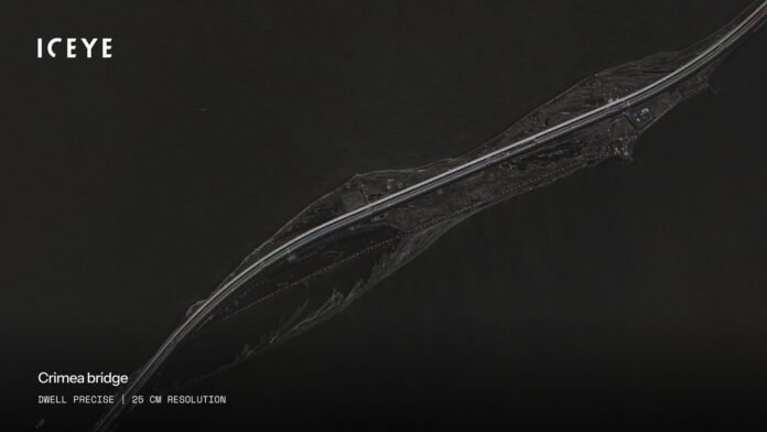
Helsinki, Finland. ICEYE, the leader in European defense tech and Synthetic Aperture Radar (SAR) satellite operations, and a customer within the Ministry of Defence of Ukraine have signed a new agreement to significantly expand their cooperation in space-based intelligence. The agreement ensures that the Ministry of Defence continues to receive a high volume of high-resolution satellite imagery through ICEYE’s world-leading SAR constellation, supporting the Ukrainian Armed Forces with persistent situational awareness on tactical timelines.The agreement builds on ICEYE’s continued support for Ukraine from 2022. Ukraine has demonstrated that space-based intelligence is not only a strategic asset, it is a tactical tool that influences decisions on operational timelines. With expanded access to ICEYE data, Ukraine can gain a faster and more accurate understanding of change on the ground, reducing uncertainty when minutes matter. This agreement leverages ICEYE investments in the short timelines necessary for tactical support.
As the operator of the world’s largest SAR satellite constellation, ICEYE delivers global access with 16cm resolution, the highest resolution and also the highest revisit frequency on the market. By utilizing radar pulses rather than sunlight, ICEYE’s technology penetrates nighttime, clouds, and smoke, to provide reliable imagery even when optical capabilities are limited. This is critical in Ukraine, where environmental conditions often obstruct traditional sensors and continuous imaging is required for tactical needs.

John Cartwright, Senior VP of Data Product at ICEYE, stated: “ICEYE is proud and humbled to have supported Ukraine’s defense teams with reliable, near-real-time space-based intelligence since the beginning of the invasion. Today’s operational environment makes one thing clear: space is no longer only a strategic domain, it is a tactical layer of defense. That requires space-based intelligence that can be acted on in near real time, day or night, in any weather.”
“This agreement strengthens assured access to our high-resolution SAR imagery, helping Ukraine make decisions faster and with greater confidence. ICEYE stands firmly with Ukraine in the face of these hostilities, and is deeply committed to strengthening Europe’s security more widely by ensuring our allies have the best decision-ready data when they need it most,” he continued.
ICEYE’s technology is capable of high-resolution imagery of up to 16 cm from its Generation 4 satellites and large-footprint modes such as Scan Wide, which covers areas of 200 km by 300 km. Additionally, ICEYE’s electronic beam-steering technology enables dozens of high-resolution scenes captured in only minutes of satellite imaging time.