New Delhi: In a first of its kind, leading private sector company, Tata Advanced Systems Ltd (TASL), a subsidiary of Tata Sons, successfully launched the country’s first-ever military-grade geospatial satellite built entirely by the private sector on April 7. The satellite named TSAT-1A, the sub-metre resolution earth observation satellite was launched in collaboration with Satellogic.
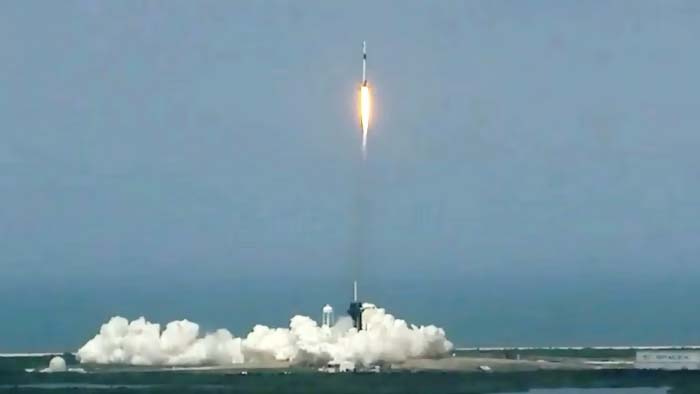
The launch took place from the Kennedy Space Centre in Florida, courtesy of SpaceX’s Falcon 9 rocket. Manufactured at its Vemagal facility in Karnataka, the TSAT-1A was part of the payload aboard the Bandwagon-1 mission.
Weighing less than 50 kg, TSAT-1A now orbits the Earth in low-earth orbit, poised to deliver high-resolution imagery with remarkable precision, less than one metre per pixel. TASL officials have confirmed that the satellite has entered the designated orbit and will undergo thorough testing over the coming weeks to ensure its full functionality.
Once operational, TSAT-1A is expected to cater primarily to the government and armed forces, offering high-resolution military-grade imagery. According to media reports, although the primary customers will be the government and armed forces, the company will also target commercial customers. The reports said the company has on the anvil plans to establish a ground centre in India for data download and processing.
Currently, India possesses a limited number of military spy satellites developed by ISRO. TASL intends to establish a constellation of similar satellites in the future, with its manufacturing facility primed to produce up to 25 low earth orbit (LEO) satellites annually, media reports said.
These satellites are being crafted in partnership with Satellogic Inc., a frontrunner in sub-metre resolution earth observation satellites.
Meanwhile, the Indian Space Research Organisation (ISRO) also operates satellites capable of sharing imagery, but with limited application due to the extensive coverage required. To fulfil its imaging needs, India currently relies on US companies. And the necessity has heightened following conflicts with China along the Line of Actual Control (LAC).
In February, ISRO launched its meteorological satellite INSAT-3DS aboard spacecraft GSLV F14 from the Sriharikota spaceport. It will study weather forecasts and natural disaster warnings. The GSLV has been called “naughty boy” due to its patchy track record. ISRO has also been involved with the National Aeronautics and Space Administration (NASA) for developing a Synthetic Aperture Radar satellite to study the Earth.


