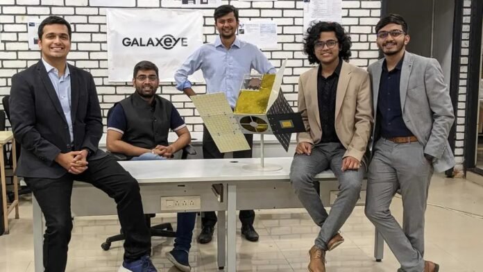
New Delhi: GalaxEye, a space-tech start-up will launch the world’s first multi-sensor Earth observation (EO) satellite ‘Mission Drishti’ in the first quarter of next year, marking the beginning of setting up a constellation of satellites over the next four years, the company said on October 13, 2025.
In a statement, Suyash Singh, co-founder & CEO, GalaxEye, said, “With Mission Drishti, we are unlocking a new era of actionable data through space exploration. For the first time in the world, we are deploying a satellite that combines multiple sensing technologies on a single platform, enabling us to observe the Earth in ways that were previously impossible.”
The world’s first multi-sensor EO satellite, offering 1.5 metre resolution, will enable governments, defence agencies and industries to perform advanced geospatial analysis across a wide range of applications, including border surveillance, disaster management, defence, utilities and infrastructure monitoring, agriculture, as well as financial and insurance assessment — providing real-time environmental and structural insights.
Mission Drishti, weighing 160 kg, is India’s largest privately built satellite and also the highest-resolution satellite developed in the country. GalaxEye plans to launch 8-10 satellites over the next four years.
According to Suyash Singh, this mission places India firmly on the global space map and creates a system that turns space technology into intelligence that businesses, governments, and communities can rely on.
The satellite, carrying synthetic aperture radar (SAR) and high-resolution optical payloads, will make available Earth observation data through any weather and at any time of the day, as per the company.
GalaxEye said that the Drishti satellite has also undergone rigorous examination, such as structural testing in extreme temperatures, to prove its capability in harsh conditions of space. Each satellite is engineered as a remote-sensing Earth observation system, optimised for spatial, spectral and temporal resolutions to capture high-precision imagery.
Singh said, “With the recent geopolitical events increasing, next generation imaging technologies with AI infusion, we look forward to providing unparalleled imagery intelligence. We already have interest from defence and security agencies, utilities, agriculture, and financial companies and we are truly excited about the potential of this technology to transform decision-making and operational efficiency across industries.”


